Geophysical Services
Geolog Engineering provides comprehensive geophysical investigation and logging services using
modern methodologies, advanced instrumentation, and experienced professionals. Our geophysical
solutions support groundwater exploration, mineral investigation, engineering geology,
environmental studies, and infrastructure development projects across Pakistan and the region.
We offer both surface geophysical surveys and borehole geophysical logging, delivering reliable
subsurface characterization for informed decision-making.
Geophysical Surveys
Our surface geophysical surveys are designed to investigate subsurface conditions non-invasively,
helping clients understand geological structures, groundwater potential, lithology variations,
and geotechnical parameters.
Electrical Resistivity Survey
Electrical Resistivity Surveys are widely used to determine subsurface resistivity variations related to soil type, rock formation, groundwater presence, salinity, and structural features. These surveys are highly effective for groundwater exploration, foundation studies, and environmental investigations.
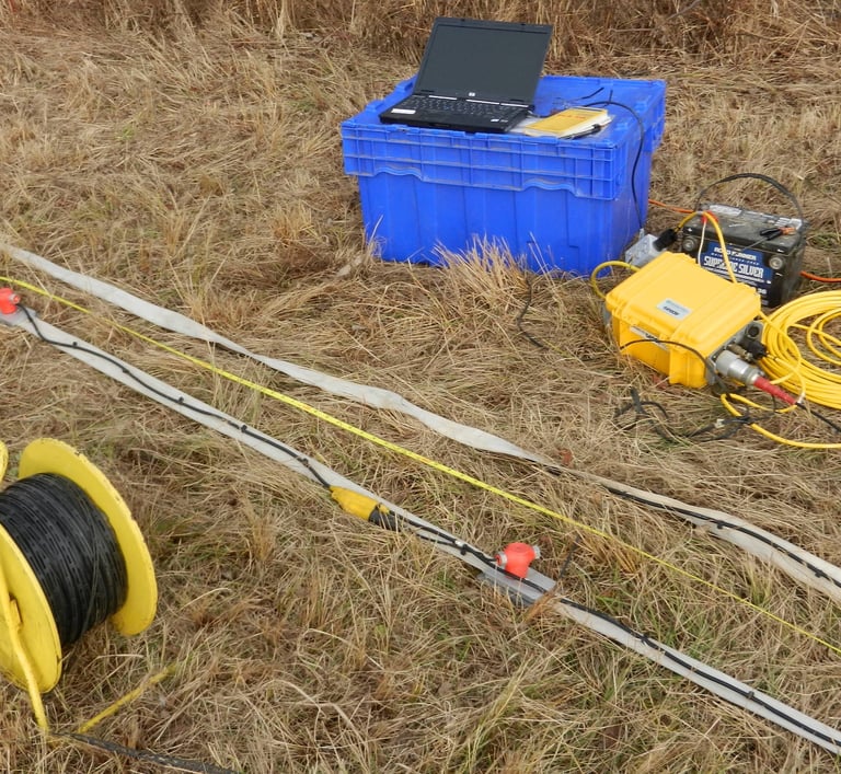
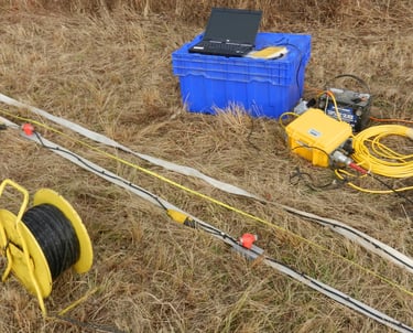
Electrical Resistivity Tomography (ERT)
Resistivity Tomography provides high-resolution 2D and 3D images of the subsurface. Using multi-electrode systems and advanced inversion software, ERT allows detailed mapping of stratigraphy, fractures, aquifers, cavities, and contamination zones.
Magnetic Survey
Magnetic surveys measure variations in the Earth’s magnetic field caused by subsurface geological structures. This method is commonly used for mineral exploration, fault mapping, basement depth estimation, and identification of buried ferrous objects.
Gravity Survey
Gravity surveys detect small variations in gravitational acceleration related to density contrasts in subsurface materials. This technique is useful for identifying geological structures, voids, basin geometry, and regional geological interpretation.
Ground Penetrating Radar (GPR)
Ground Penetrating Radar uses high-frequency electromagnetic waves to image shallow subsurface features with excellent resolution. GPR is ideal for utility detection, void identification, shallow stratigraphy, pavement evaluation, and archaeological studies.
Seismic Surveys (Shallow & Deep)
Seismic surveys utilize elastic wave propagation to study subsurface layers and structures.
Shallow Seismic Surveys are used for geotechnical investigations, rippability studies, and near-surface profiling.
Deep Seismic Surveys provide information on deeper geological formations, structural interpretation, and basin analysis.
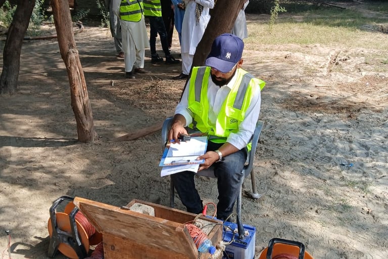
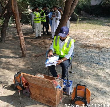
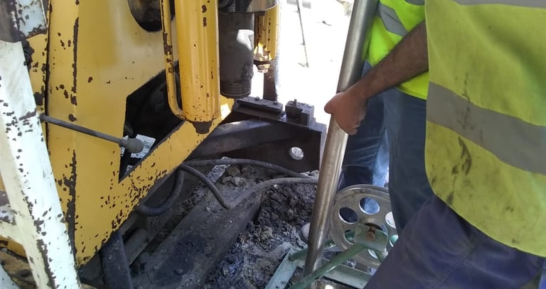
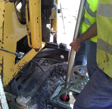
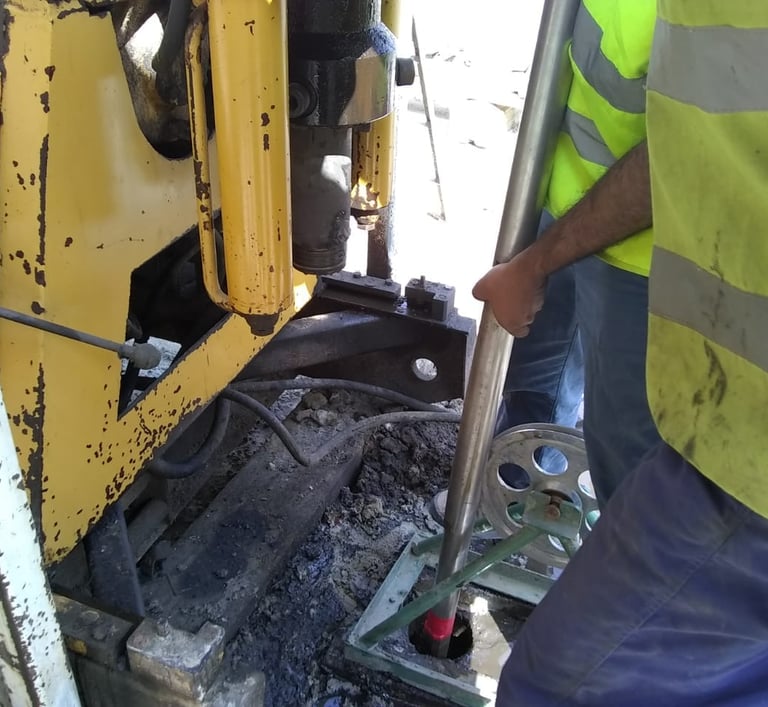
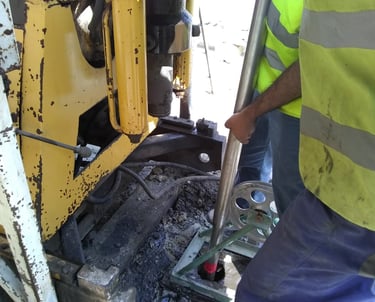
Geophysical Logging
Geolog Engineering offers complete borehole geophysical logging services to evaluate subsurface
conditions directly within drilled wells. Borehole logging enhances understanding of lithology, aquifer
characteristics, fractures, and formation properties.
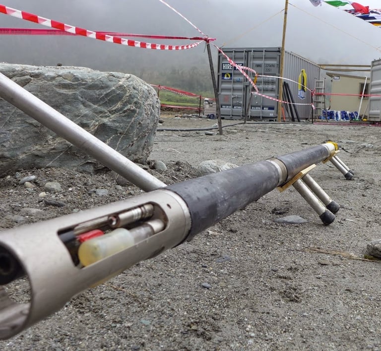
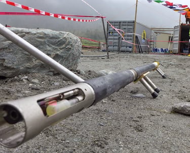
Borehole Geophysical Logging Services
We utilize state-of-the-art Geovista and Chongqing Geophysical logging systems, equipped with
advanced probes, heavy-duty winches, depth measuring systems (DLS), and digital data acquisition
units. These systems ensure accurate, reliable, and high-resolution logging results.
Natural Gamma Log
Measures natural radioactivity of formations to differentiate lithology, identify clay content, and correlate geological layers.
Gamma-Gamma Density Log
Determines formation density by measuring back-scattered gamma rays, useful for porosity estimation and lithological interpretation.
Resistivity Logs (Shallow & Deep)
Measures electrical resistivity around the borehole to evaluate formation permeability, groundwater quality, and saturation levels.
Spontaneous Potential (SP) Log
Records natural electrical potentials in the borehole to identify permeable zones, lithology changes, and groundwater flow characteristics.
Point Resistance Log
Provides additional formation property measurements supporting hydrogeological and geological interpretation.
Caliper Log
Measures borehole diameter variations, helping assess borehole condition, casing requirements, and formation stability.